
MPA Europe partners meet in Oostende and Brussels to wrap up the project
13/02/2026
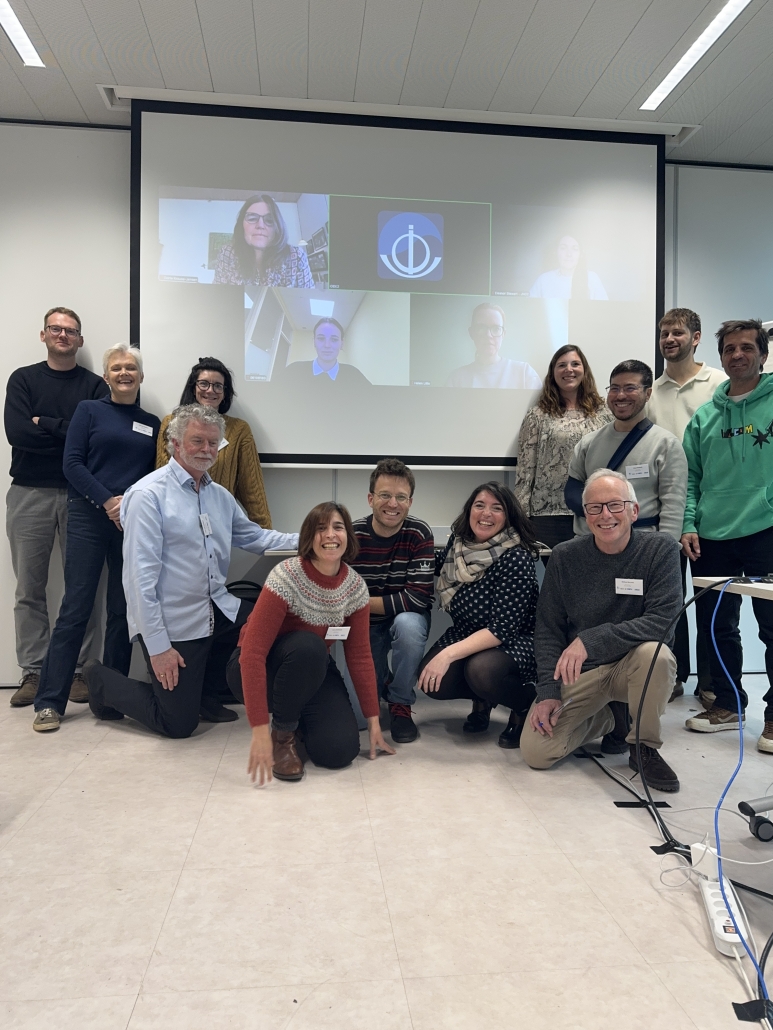
On 3rd February 2026, MPA Europe partners met at the Flanders Marine Institute (VLIZ) in Oostende, Belgium for the project’s final consortium meeting. The meeting brought together 13 partner representatives in person and five online. The day opened with updates from each work package, reflecting on what the project has delivered over its full duration—deliverables and reports, datasets and maps, scientific papers, and a broad set of communication materials for different audiences. Partners also used the meeting to look ahead to the final steps. They reviewed the scientific papers still in preparation, agreeing on timelines and next actions to support submission. They also discussed how the MPA Europe Atlas could be updated and improved, drawing on partner experience and feedback gathered from stakeholders. Finally, the consortium considered how MPA Europe’s outputs can remain easy to find and reuse after the project ends, including through the project website and open repositories.
Many of MPA Europe’s headline figures are now consolidated on the project’s new MPA Europe in numbers page, which summarises project-wide outputs and outreach (including publications, datasets, reports, events attended/organised, and people engaged). In parallel, the project’s open-access deliverables and other outputs (43 records in total at the moment) continue to be shared through the MPA Europe Zenodo community, supporting long-term access and reuse.
On 4th February 2026, MPA Europe held a policy-focused meeting in Brussels at the European Commission building co-hosted with DG ENV. The meeting brought together representatives from DG MARE, DG RTD, national government policy authorities, NGOs, Regional Sea Conventions, research institutions, and the TEG on Data for MSP. A total of 24 participants attended in person, with a further 22 joining online. The session provided an opportunity to present the project’s main results and discuss how they can support EU policy needs related to marine biodiversity conservation and the design of coherent MPA networks, including in the context of marine spatial planning and climate change. Discussion centred on how MPA Europe’s data products and map-based tools can be used by policy and technical teams, which information is most useful for decision-making, and where further improvements to the platform could strengthen usability.
Participants were actively engaged throughout, raising practical questions and offering remarks that the consortium will consider as part of the project wrap-up. Participants also underlined the importance of continuing to use and build on the project’s results and noted that MPA Europe’s recommendations could help inform future policy developments, including discussions linked to the EU Ocean Act.

