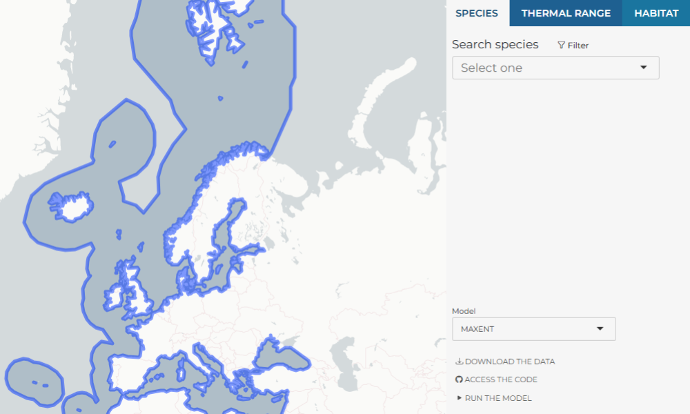
MPA Europe introduces Species range maps
29/11/2024
European and global commitments aim to protect at least 30% of the ocean by 2030, with 10% designated as strictly protected. The MPA Europe project is applying systematic conservation planning to map a network of Marine Protected Areas (MPA) that represent the range of biodiversity, across species, habitats, and ecosystems, while being resilient to climate change.
To support this effort, MPA Europe has produced species range maps for over 10,000 species found in European seas using species distribution models (SDM). These models connect species occurrence data with environmental conditions, identifying areas suitable for species survival. For each species, models can be generated for the present day conditions and for all five IPCC climate change scenarios, to 2050 and 2100. All models are openly available to the public, providing valuable support for research and marine spatial planning.
To make these results easy to explore, we developed a user-friendly web platform where you can access species range maps, thermal niches, habitat distribution maps, projected future distributions under climate change, and diversity maps. The platform also provides detailed information about the models, with options to download the data and code so users can adapt the models with their own settings.
Explore the platform at http://shiny.obis.org/distmaps .
MPA Europe team also created an easy-to-follow tutorial video to guide you as you explore this platform.


